Home

About Me

I am working in an advancing field of geospatial data science and engineering by utilizing the mighty Artificial Intelligence/Machine Learning technologies, especially for Satellite data-intensive and data-informed business applications, including cloud computing systems, data cloud, data analytics platform and API, web application, and data security, for providing the complex big geospatial data-induced solution by predicting the distributional pattern, classes, and clusters in data.

I am graduated with Applied and Engineering Science degrees majoring in Geoinformatics and Remote Sensing by dealing with complex and dynamic software and data analytical systems, and these enthused me for getting involved in IT for Geoinformatics and Remote Sensing applications. Specially I am interested in cloud native platform for data analytics and data security for big satellite data-intensive and data-informed applications.

I am passionate about cutting-edge secure and green IT solutions for big satellite data-informed businesses and has been working in the IT field focusing on Remote Sensing and Geospatial Data Science and Engineering, Unsupervised and Supervised Machine Learning Algorithms, and Blockchain Architecture with work experience as Geospatial Data Scientist and Engineer to support successful geospatial IT solution business and satellite data-informed tech businesses in the larger European tech market.

Me

Experience

experience5

CTO (Technische Leitung) | January 2022 - Present

Sensor Aktor GmbH, Darmstadt, Hesse, Germany
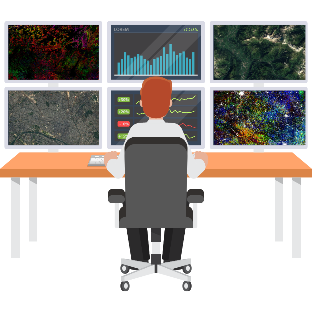
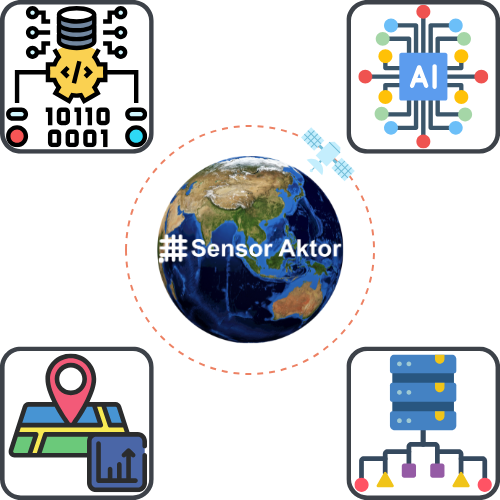
  • Developing state-of-the-art cloud native Web GIS and Remote Sensing platform for satellite data data accessing, analyzing, visualizing, storing, and shearing using cutting edge tooling and AI (ML and DL) technologies.
  • Considering agile, robust, and secure geospatial web application tools including GeoServer, GDAL JAVA API, Leaflet, Bootstrap, Kubernetes, Keycloak, and Apache Tomcat.
  • Developing back-end (Java, Python, and C++) and front-end (JavaScript, HTML, and CSS) for Web GIS and Remote Sensing application.
  • Using Kubernetes for orchestration and Keycloak for access and identity management.
  • Business intelligence and business modeling.
  • Conducting research and development focused on integrating AI for massive volume of satellite data analysis.
experience3

Doctorate (Ph.D.) Researcher | January 2018 - December 2021

Remote Sensing of Water Systems (RSWS) group, Remote Sensing Laboratory (RSL), Department of Geography, University of Zurich, Switzerland
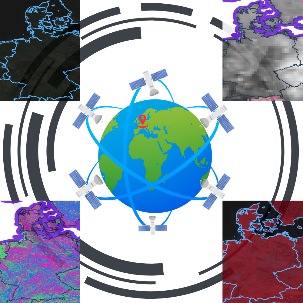
  • Developed an advanced forward modelling approach for Earth radiation fluxes (energy & water) and ecosystem transpiration estimation using multi-sensors, multi-spatio-temporal space-borne and airborne remote sensing data & gridded meteorology data.
  • Used Sun Induced Chlorophyll Fluorescence towards advanced ecosystem transpiration modeling.
  • Applied Sun-induced Chlorophyll Fluorescence for monitoring crop drought using higher spatio-temporal resolution air-borne hyperspectral and thermal data.
  • Big satellite data modeling using Radiative Transfer Models (in python environment).
  • Model calibration and validation with machine learning (in python environment).
  • Algorithms development for massive satellite data analysis for modeling physical and bio-physical properties of environment (in python environment).
  • Big satellite data pre- and post-processing, data from multi-sensors (optical and radar) and multi-platforms (space- and air-borne) (in python environment).
  • Assistant supervisor and research assistance for theoretical and practical courses for master and undergraduate level, i.e., atmospheric correction, multi-sensors big satellite data analysis and modeling for environmental studies.
experience2

Geospatial Engineer | October 2017 - December 2017

Spacenus GmbH, Darmstadt, Hesse, Germany
  • Worked under ESA IAP (European Space Agency - Integrated Application Programme) project.
  • Processed Sentinal-2 Level 1C data to generate Sentinal-2 Level 2A data for Germany.
  • Algorithm development for autonomous cloud masking and cloud-free title of Sentinel-2 Level 1C data.
  • Automatic composition of cloud-free satellite imagery with road networks for Germany.
  • Preparation of crowd sourcing processes to manually fill in missing field borders for Germany.
  • Research and development.
experience1

Research Assistance | January 2012 - May 2015

ISEE Bangladesh, Earth & Environmental Sciences Department, Vanderbilt University, Nashville, Tennessee, USA

  • For ISEE Bangladesh project funded by USONR (US Office of Naval Research) & NSF (National Science Foundation) Belmont Forum.
  • Flood modeling and identification using in-situ and space-borne remote sensing data.
  • Identification and estimation of land cover types and land use changes of the coastal islands and mangrove forests by using optical and radar satellite data.
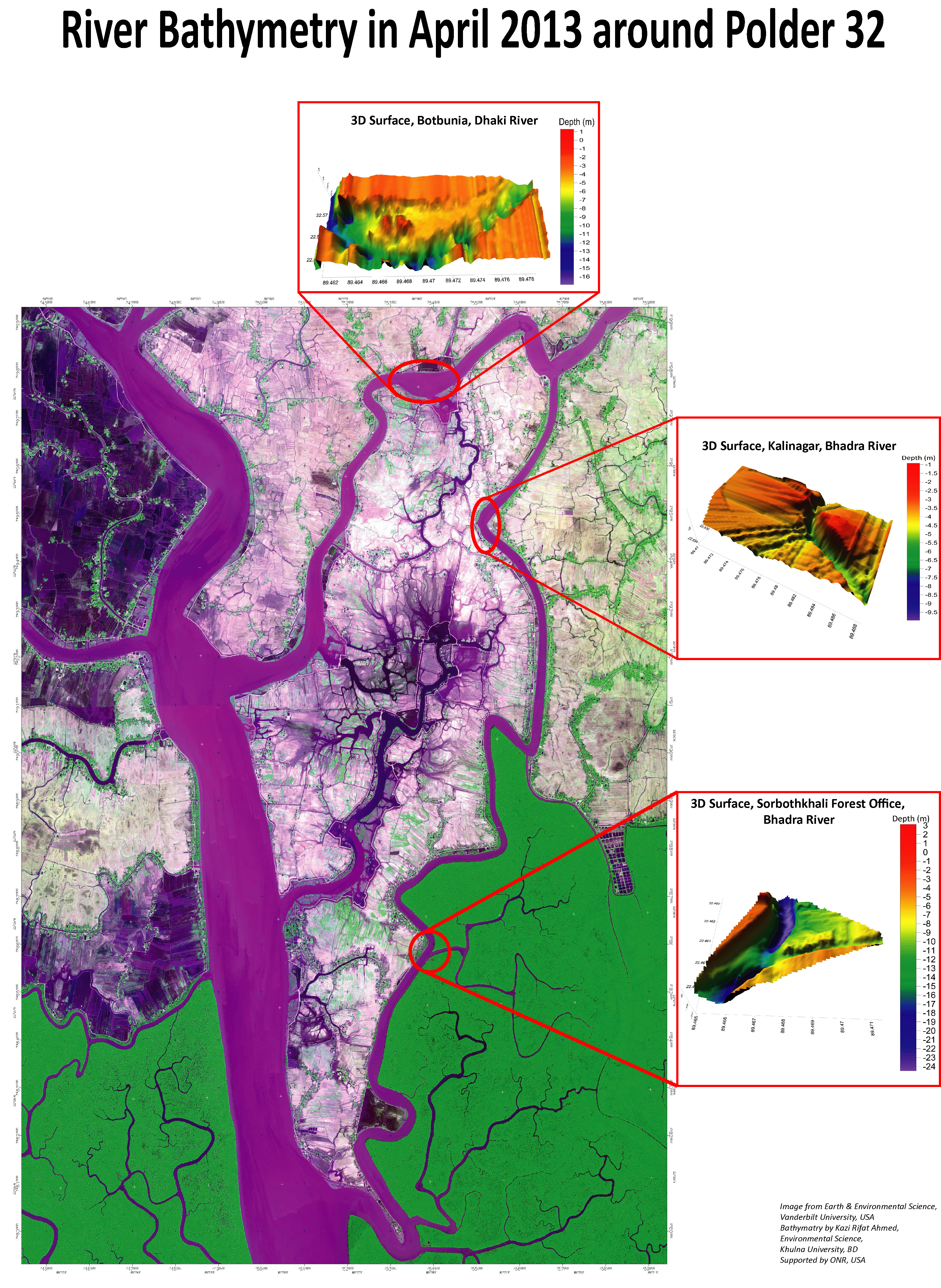
  • Conduct bathymetry survey using echo-sounding and single beam sonar in coastal rivers and established 3D river bathymetry models.
  • Altimetry data collection and hydro-graphic modeling using in-situ and space-borne remote sensing data.
  • Conduct geodetic survey, elevation survey, field D-GPS station installation, and RSET for studying the elevation changes in coastal areas.
  • Regional climatic data modeling including atmospheric temperature, land surface temperature and potential evapotranspiration.

Hard Skills

Satellite data engineering
Remote sensing science and technology
Multi-sensors satellite image analysis
Atmospheric correction
Geospatial software DevOps
Object detection and classification
Feature identification and extraction
Earth system and climate modelling
Unsupervised learning
Semi-supervised learning
Supervised learning
Reinforcement learning
Scikit-learn, Scikit-image,Pytorch and Tensor-flow for machine learning
GDAL/OGR, rasterio, geopandas, pandas, numpy, and scipy for geospatial data handling
Leaflet and Folium for web mapping technologies
Django and GeoDjango web framework
Java, C++, and Python for back-end development
Python for geospatial data science and engineering
Apache Camel, Quarkus, and MinIO for server development
PostGIS, Postgre SQL, and MySQL for geospatial database
Kubernetes for orchestration
Keycloak for access and identity management
Git for version controlling
JavaScript, HTML and CSS for front-end development
Generative AI
Large Language Models
Virtual machines
Linux for DevOps

Soft Skills

Entrepreneurship
Creativity
Innovation
Efficiency
Co-founder
Leadership
Project management
Decision making
Critical thinking
Risk assessment
Team work and collaboration
Communication (Business and Technical)
Business management
Business modelling
Business proposal
Business planning and projection
Research and development
Reconnaissance survey
Presentation and public speaking
Publication and blogging

Awards

...

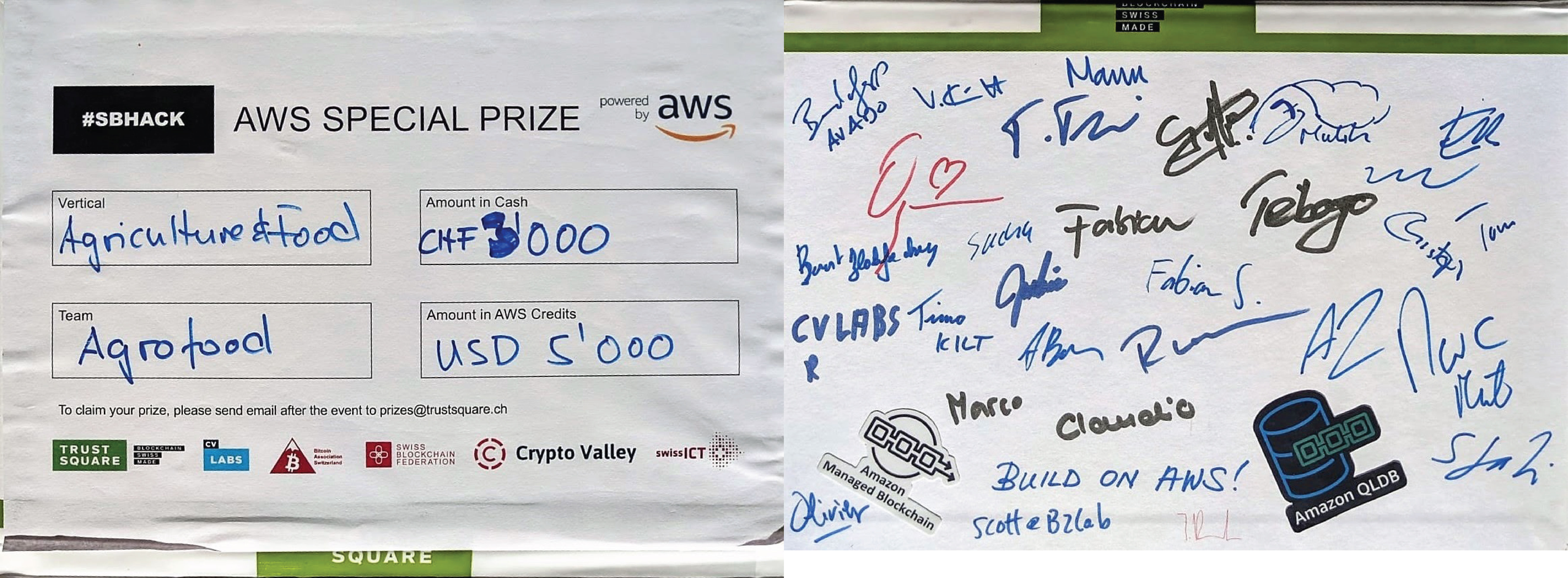
Winner AWS (Amazon Web Service) Prize at Swiss Blockchain Hackathon (2019)

The team AgroFood developed an innovative complete blockchain technology (back-end and front-end) named SOMO (SOil to MOuth) to tackle the biggest challenge 'Good Actor Incentives' in Agriculture and Food sector. SOMO introduced a novel approach to link farmer and consumer within a peer-to-peer relation through a private blockchain; where farmers will never be dependent on intermediaries in the value chain to give and get back services from customers. Farmers and customers can make more secure, reliable, authentic, and transparent transactions using any cryptocurrency or SOMO crypto. SOMO is one of the most reliable and robust novel blockchain technologies, developed using Amazon Managed Blockchain system with Hyperledger Fabric.

Winning pitch: AWS Special Prize Winners: Video Submission AWS Special Prize 1st Place
...

Winner of ImageCLEF 2017 Germany (2017)

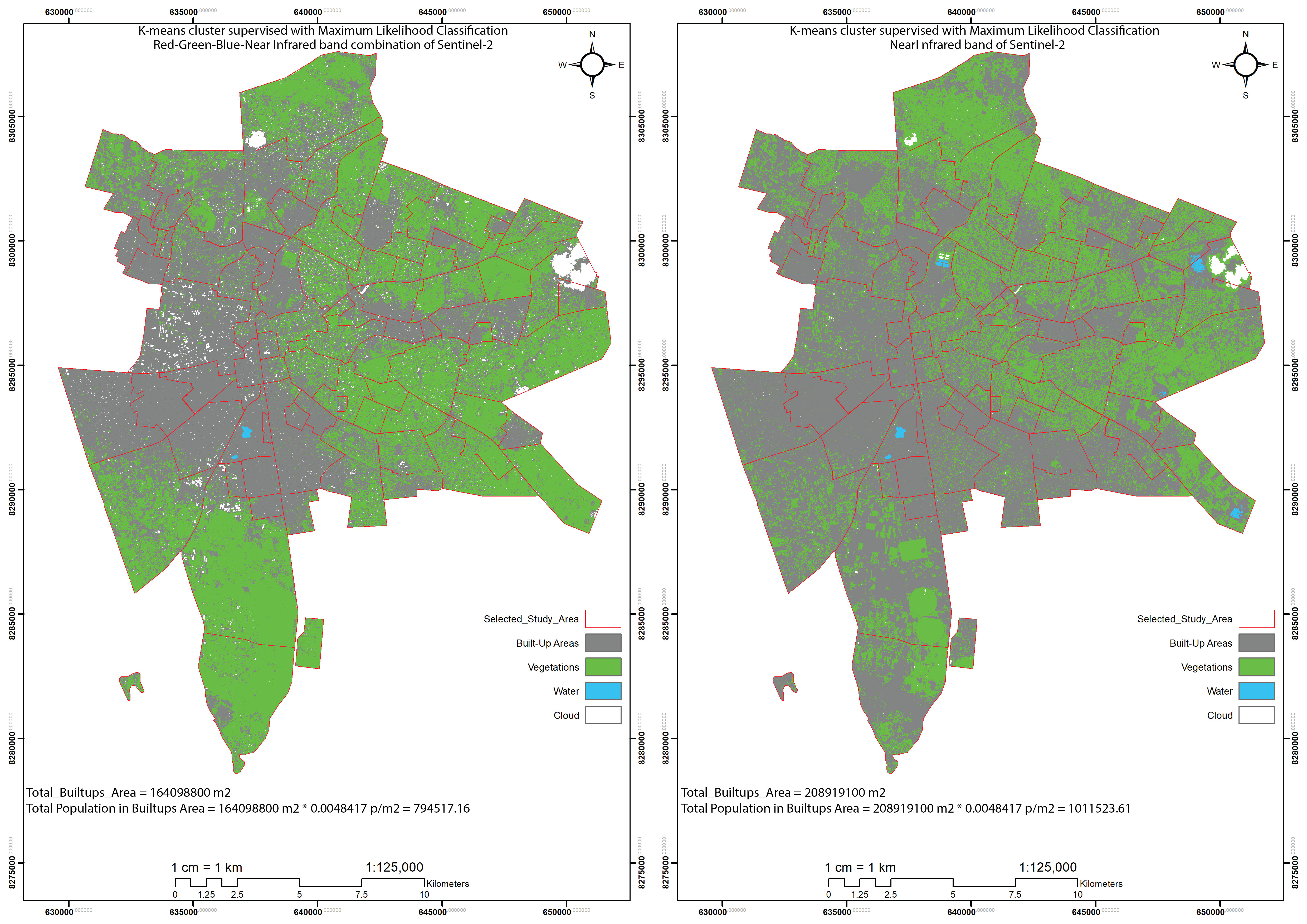
Estimated population density and number using Copernicus Sentinel-2 satellite data and unsupervised and supervised machine learning algorithms. I was awarded as part of the best performing team in ImageCLEF 2017.
...

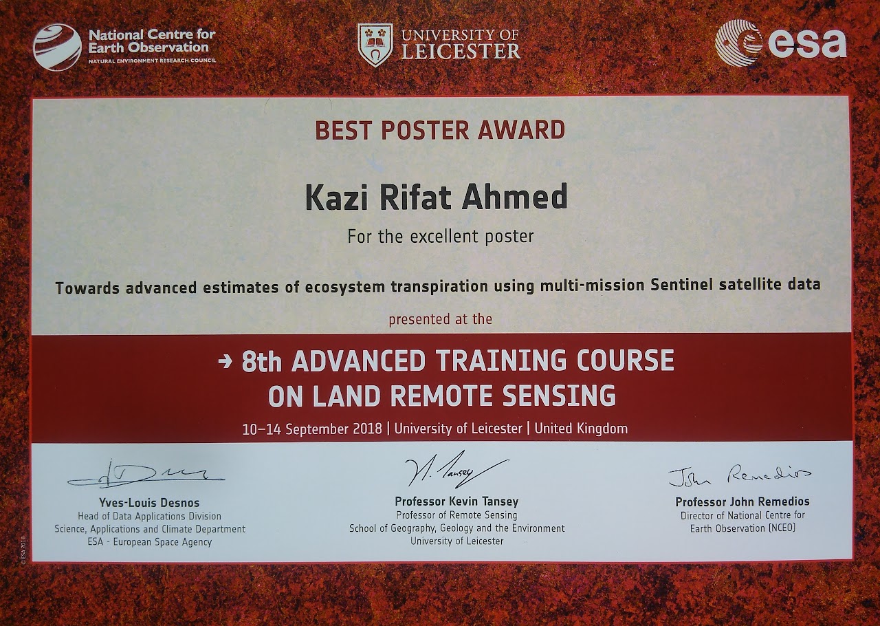
Best Poster Award at the 8th Advanced Training Course on Land Remote Sensing (2018)

Presented a poster at the 8th Advanced Training Course on Land Remote Sensing at the University of Leicester, UK; organized by the European Space Agency (ESA) and hosted by the Department of Physics & Astronomy of the University of Leicester and the National Centre for Earth Observation of the United Kingdom.
...

DAAD Scholarship Recipient

Awarded a fully funded academic scholarship from the Deutscher Akademischer Austauschdienst (DAAD) for the study years 2014-2016 for a Master of Science degree at the Institut für Angewandte Geowissenschaften, Technische Universität Darmstadt, Germany. Also received funding for a scientific thesis from DAAD.

Education
...

Doctor of Philosophy (Dr.sc.nat) | 2023

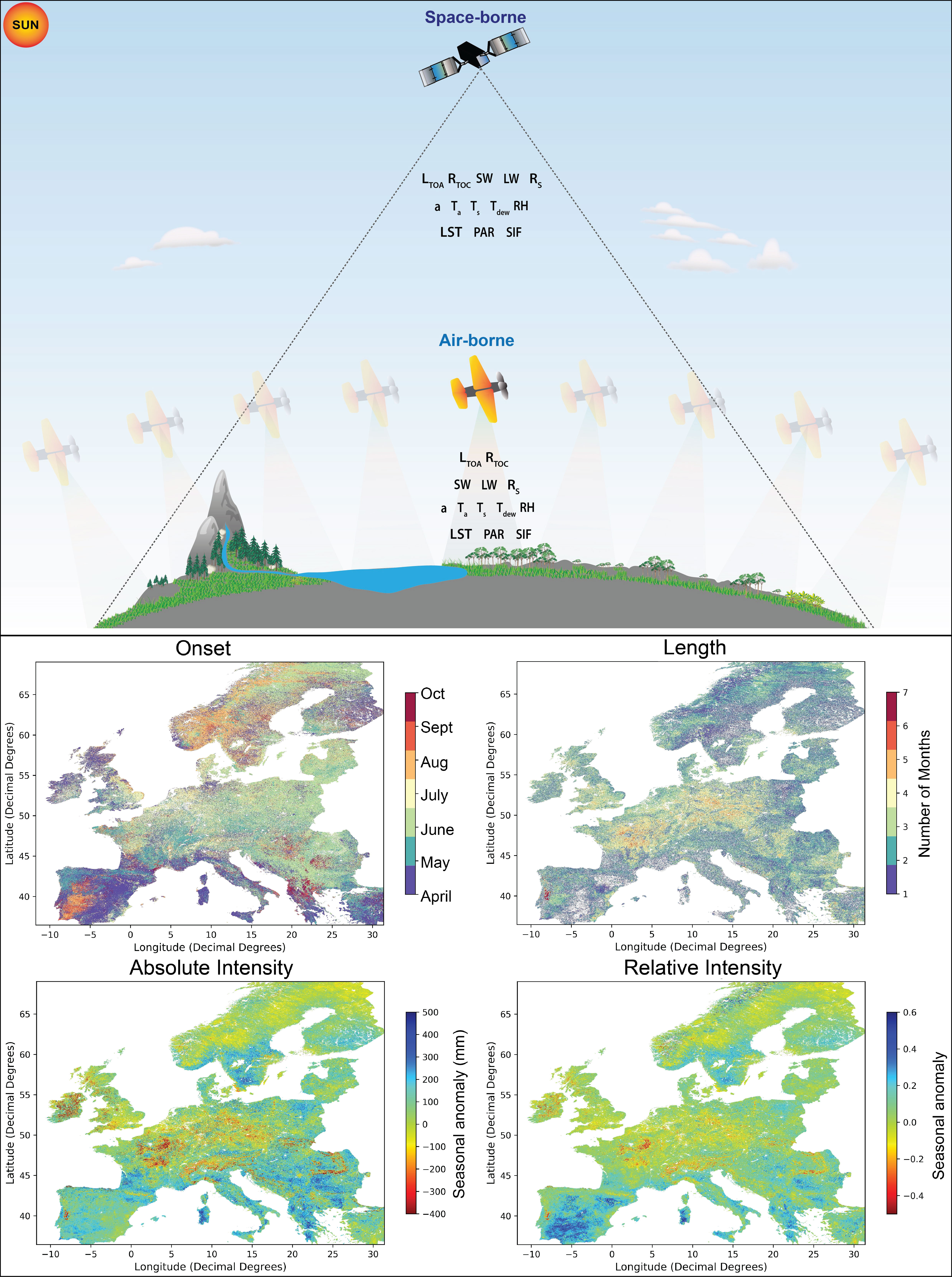
Remote sensing of sun-induced chlorophyll fluorescence for transpiration modeling and its uses for extreme climate studies using advanced forward modeling.

Thesis title: Remote Sensing of Sun-Induced Chlorophyll Fluorescence for Advanced Ecosystem Evapotranspiration Estimates

Remote Sensing of Water Systems (RSWS) group, Department of Geography, University of Zurich, Switzerland
...

Master of Science | 2016

Tropical Hydrogeology and Environmental Engineering, major in Remote Sensing and Geoinformatics

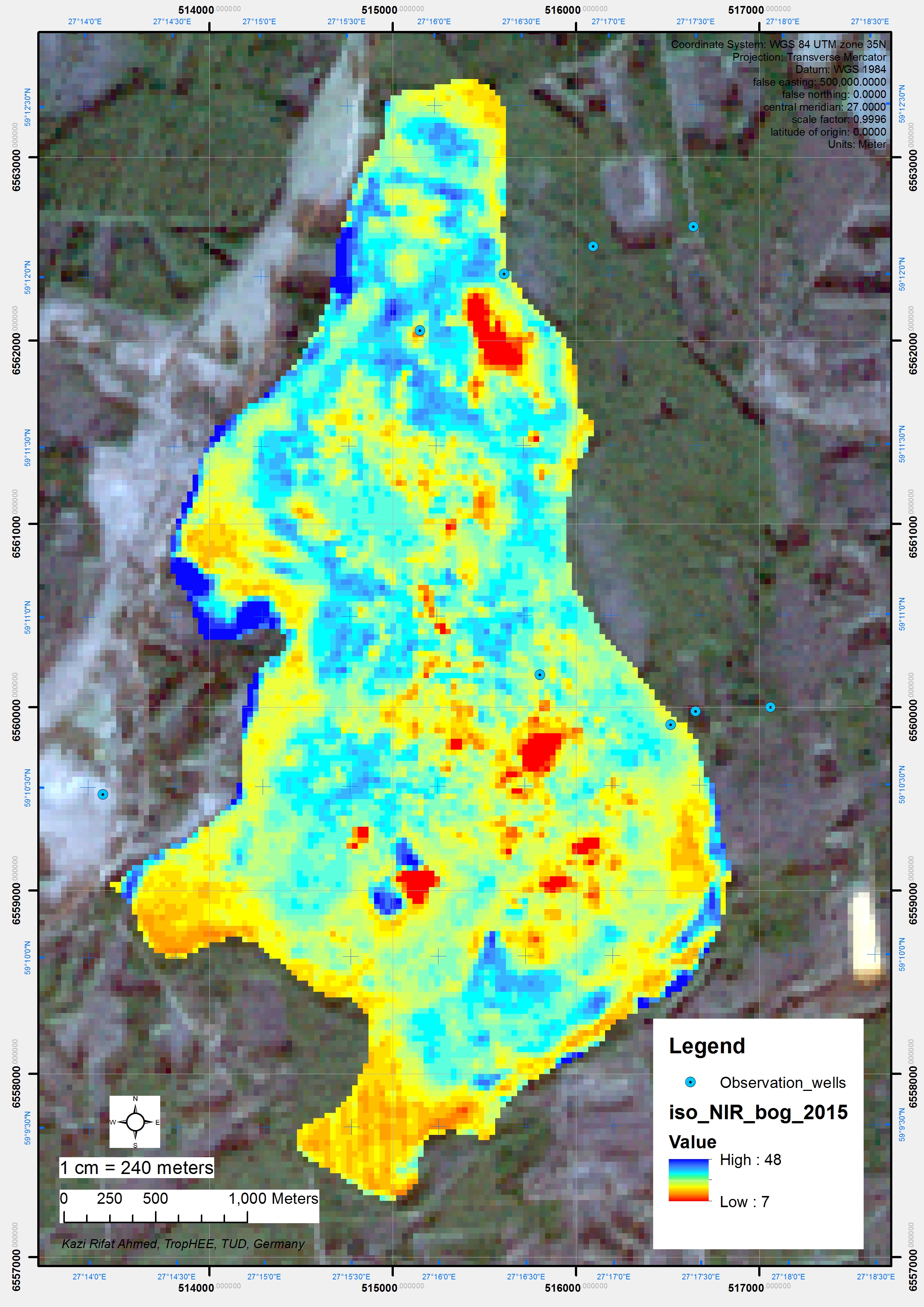
Thesis title: Changes in Land Cover Caused by Mining in Selisoo Area, Estonia

Result: CGPA 2.25 in German grading system (Total Credit Points 144) (Positioned within top 5% of the class of 22 international students).

Institut für Angewandte Geowissenschaften, Technische Universität Darmstadt, Germany
...

Master of Science | 2014

Environmental Science, major in Remote Sensing, Echo-sounding, Sonar Imaging, Digital Elevation Model, and Geomorphology

Thesis title: Factors Controlling Solute Chemistry and Bathymetry in Tidal Rivers Around The Polder-32: A Case Study of South-Western Coastal Area of Bangladesh

Result: CGPA 3.51 in Khulna University grading system (CGPA1.74 in German grading system) (Total Credit Hours 36)(Positioned 2nd out of 14 students)

Environmental Science Discipline, Life Science School, Khulna University, Bangladesh
...

Bachelor of Science | 2011

Environmental Science, major in Geoinformatics, Remote Sensing and Hydrogeology

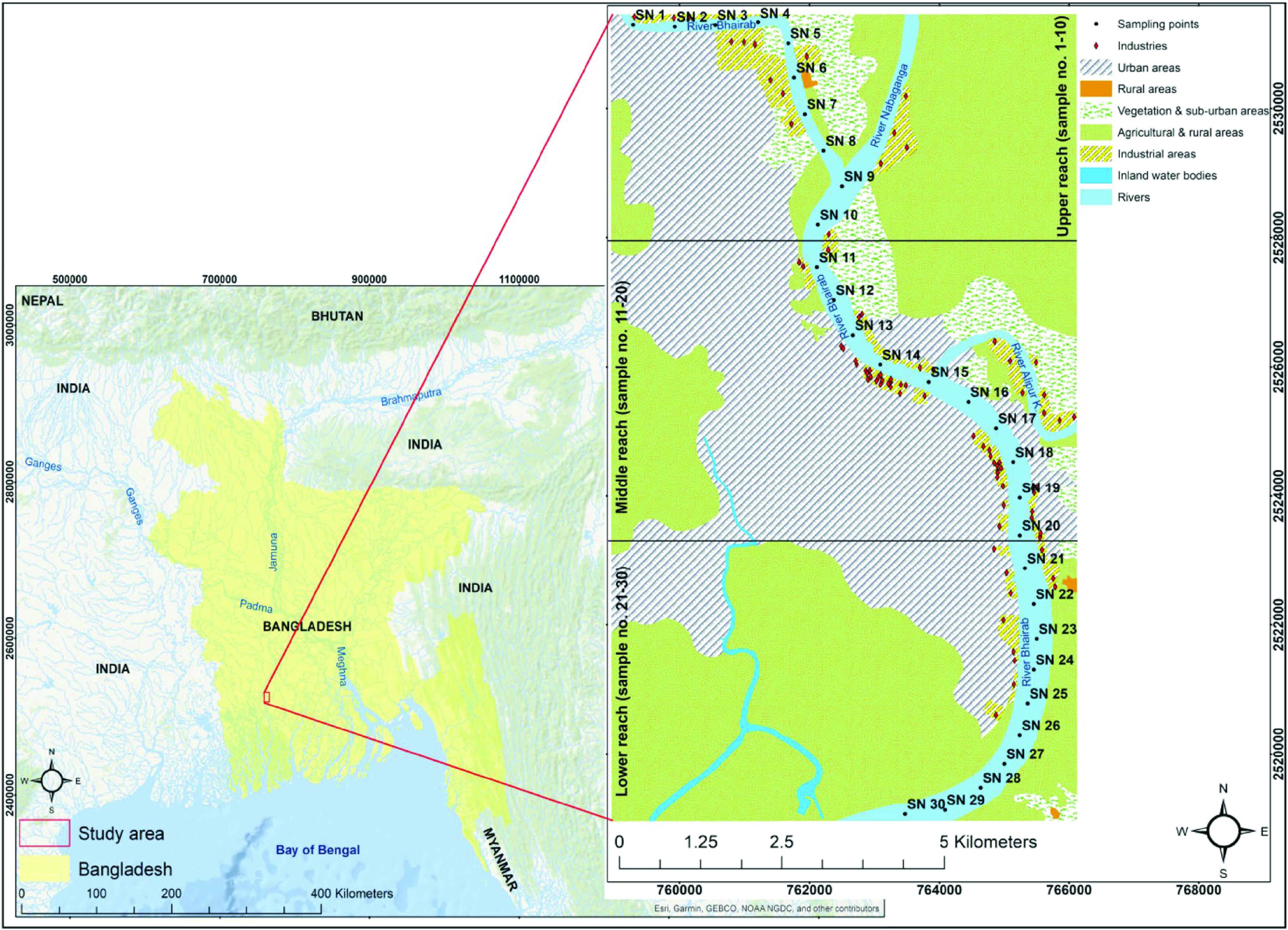
Thesis title: Nature of Solute Load in the River Bhairab, Khulna, Bangladesh

Result: CGPA 3.38 in Khulna University grading system (CGPA 1.93 in German grading system) (Total Credit Hours 162.50)(Positioned 9th out of 29 students)

Environmental Science Discipline, Life Science School, Khulna University, Bangladesh